Geolocated photos
Document a sample, a plant, an issue or a passage with one or more photos. Find the images again together with the place where you captured them.

Waypoints made simple, for every activity
Save a location with one tap in Point. Add geolocated photos and voice memos to remember what you found, saw or did, right where it happened.
For gathering trips, outdoor adventures and fieldwork. With or without a GPS track.
Download on the App Store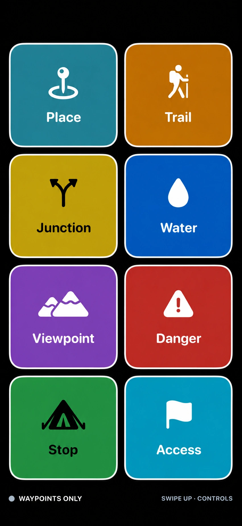
Geolocated photos and voice memos
An icon, color and label help you recognize a point. A photo shows what is in front of you; a voice memo captures the details in your own words. Both stay attached to the point and its location.
Document a sample, a plant, an issue or a passage with one or more photos. Find the images again together with the place where you captured them.
Describe what you observe while you are there: a detail, a condition, a task to carry out. Your voice stays with the point, preserving its context.
Tap to mark a point. Press and hold to add a voice memo, one or more photos, or both.
Use cases
Choose what to mark and customize your buttons. Point adapts to your activities, from a passion for nature to work in the field.
Mark your gathering spots in an instant.
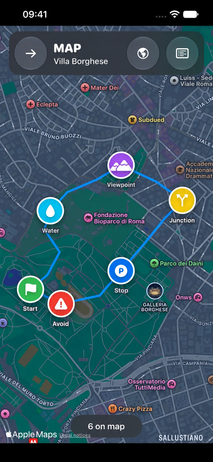
Record springs, shelters, viewpoints, obstacles and places to find again.
Save fishing spots, catches and points of interest.
Quickly mark observations, checks and points of interest.
Record samples, sightings and observations right where you find them.
Mark plants, problems, interventions and areas to check.
Remember locations, sightings and spots to return to for another shot.
Mark passages, detours, access points and places to find again.
Collect points and observations as you move through the field.
Quickly record issues, checks and locations in the field.
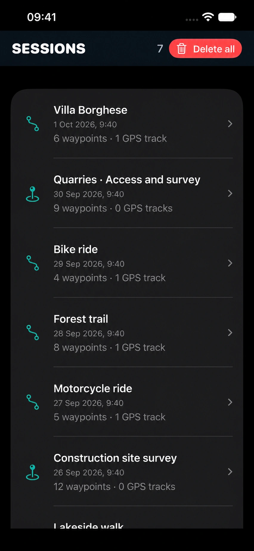
The map and session list display sample data.

Features
An interface that adapts to the way you move and the details you want to remember.
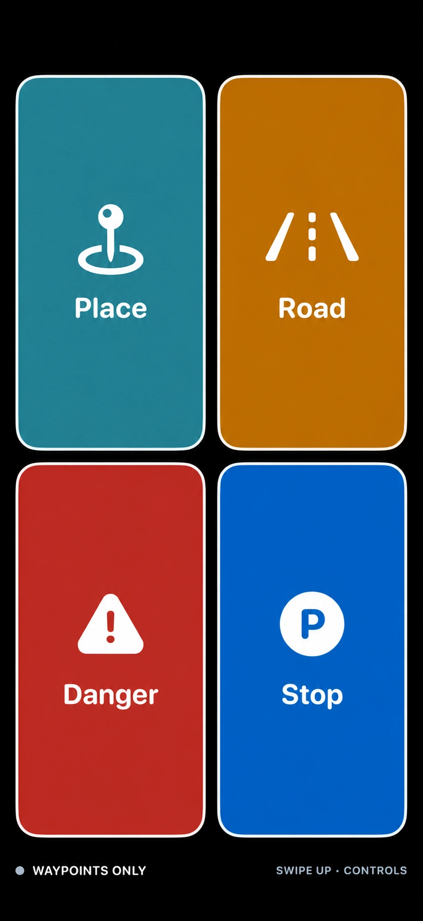
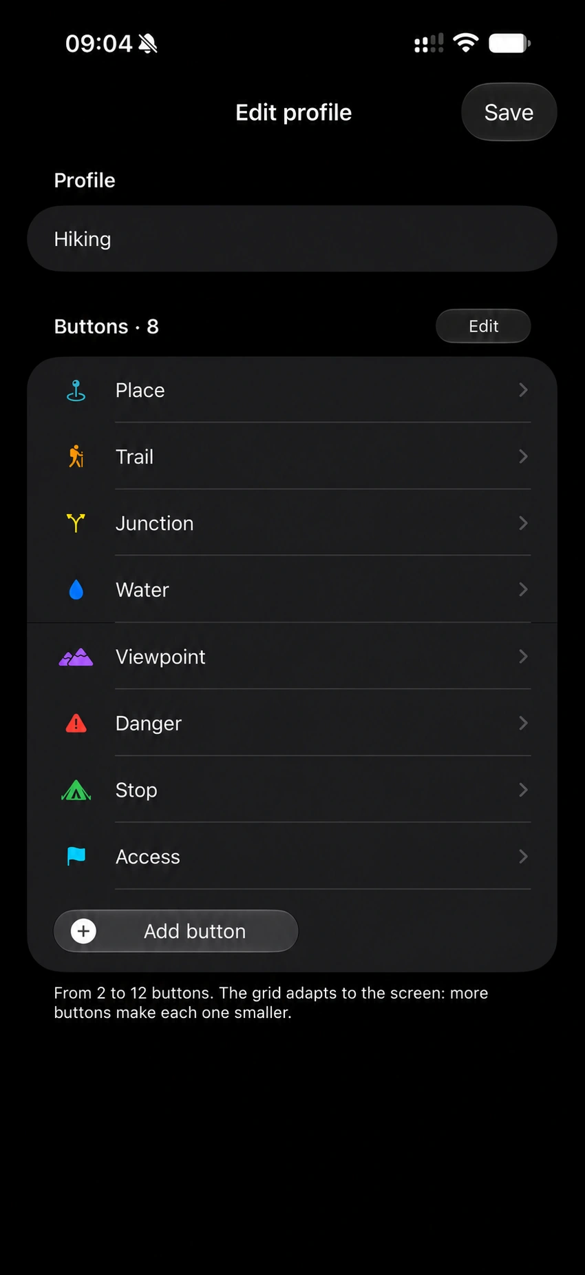
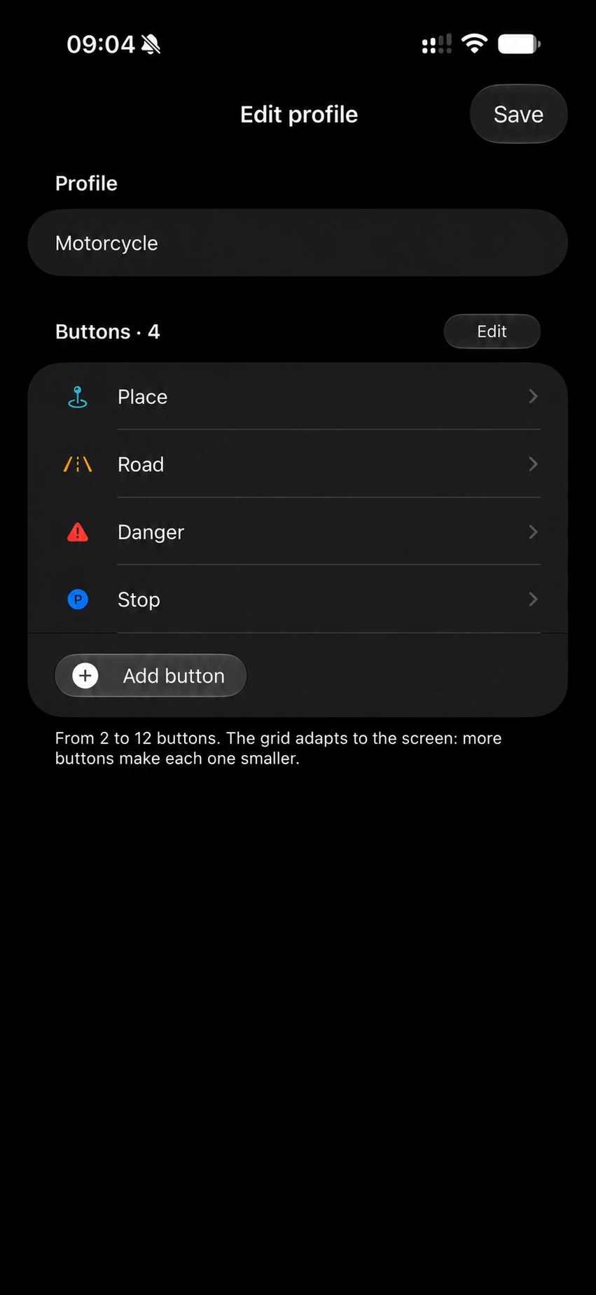
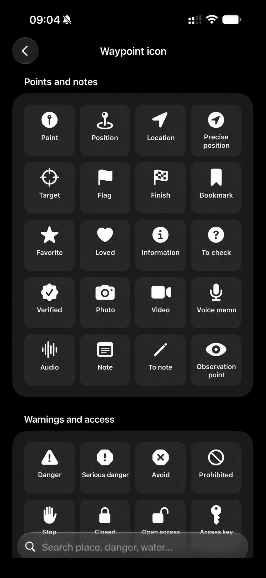
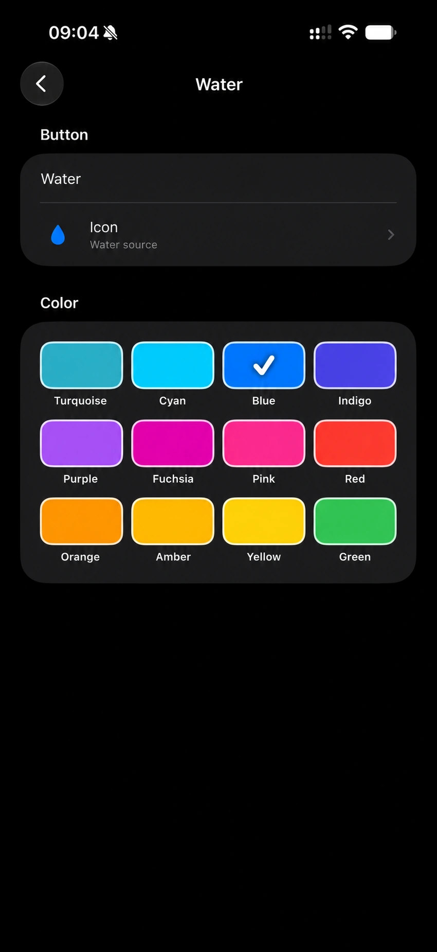
Choose 2 to 12 buttons, then set each one’s label, icon and color. Keep a few large controls for a motorcycle ride, or create categories for passages, obstacles, points of interest and issues during an exploration or site visit.
Save a point with one tap. Press and hold to include a voice note, one or more photos, or both.
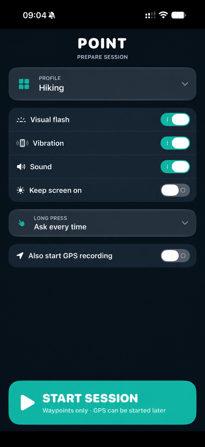
Full-screen visual confirmation, vibration and sounds: choose the feedback that helps you notice a point was recorded without watching the display.
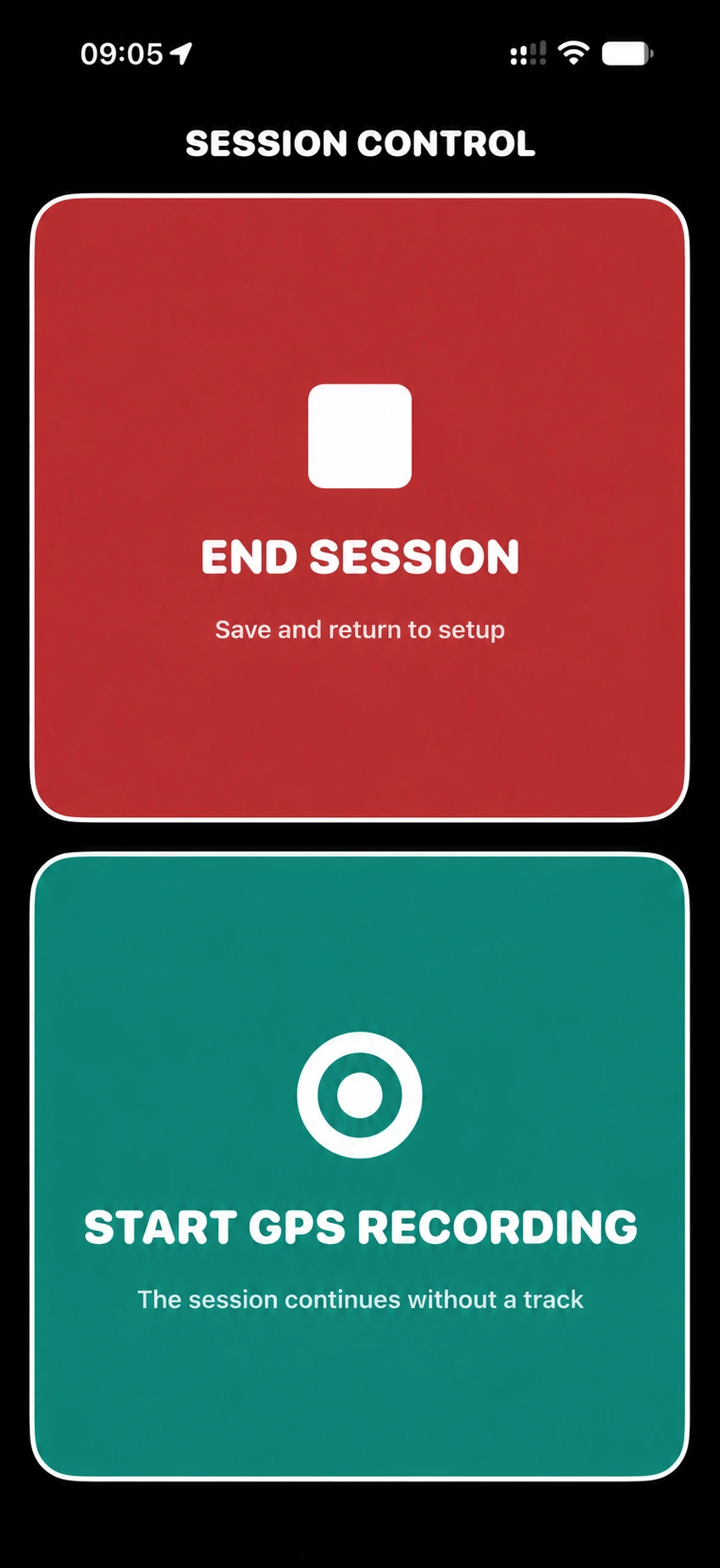
Start with waypoints alone and begin GPS recording later. Stop the track whenever you want and keep adding waypoints to the same session.
Create a GPX file with waypoints only to add to another track, or export the GPS track and waypoints together.
Photos and voice memos stay geolocated through the waypoint they are attached to. Keep images, voice and location together to recall the context of each observation.
Profiles
For people who explore for pleasure and those who work in the field. Each profile suggests buttons and haptic, visual and sound feedback for its activity. Customize everything or create a profile to reuse.
Quick presets for stops, rough surfaces, places to revisit and points of interest.
Categories for trail surfaces, obstacles, viewpoints, water fountains and places to stop.
Create a profile with categories for passages, obstacles, points of interest and details to find again. Mark each situation on the go and document it with photos and voice notes.
Customize buttons and feedback for site visits, worksites and field surveys. Record observations, issues and points to check, with photos and voice notes attached to each location.
Whatever the route, remember what you find.
Download on the App Store